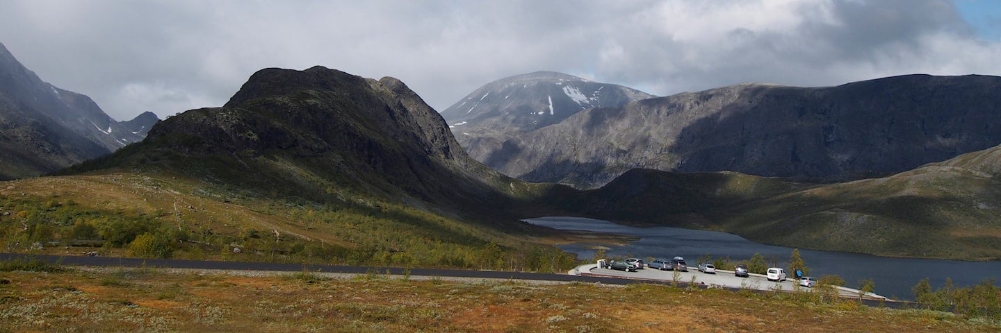
Rest area and viewpoint Vargebakkane
GPS, Vargebakkane:
61.46443914, 8.8086129
Wheelchair accessible.
Vargebakkane lies on the steep ascent towards the Valdresflye plateau and the mountain pass between the Gudbrandsdalen and Valdres valleys.
The small car park at Vargebakkane is an excellent starting point for many pleasant hikes through this area.
Map of the route
Closed for the winter
- Closed:
- Estimated open:
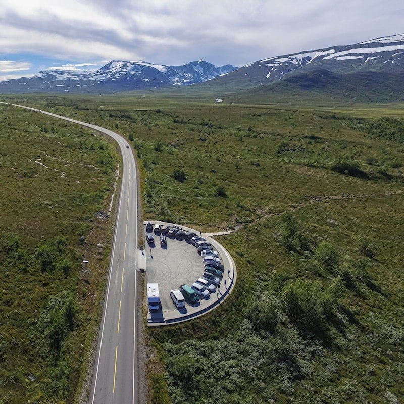
Photo: Kjetil Rolseth

Photo: Vegar Moen.


