Rest area and viewpoint Svandalsfossen
GPS, Svandalsfossen:
59.62537531, 6.29210259
Partially wheelchair accessible.
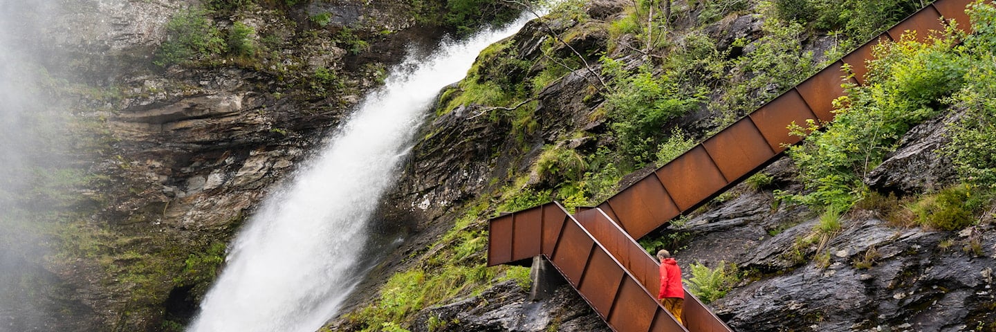
The Svandalsfossen waterfall is a well-known attraction located between the industrial town of Sauda and the Ropeid ferry.
The Svandalsfossen waterfall is a mighty spectacle when the river runs high. The 540 steps bring visitors into close proximity with the powerful waterfall and the lush, magical vegetation that characterises the area.
Architect: Haga & Grov AS Sivilarkitekter MNAL
Architect: Helge Schjelderup Arkitektkontoret Schjelderup & Gram
Map of the route
Closed for the winter
- Closed:
- Estimated open:
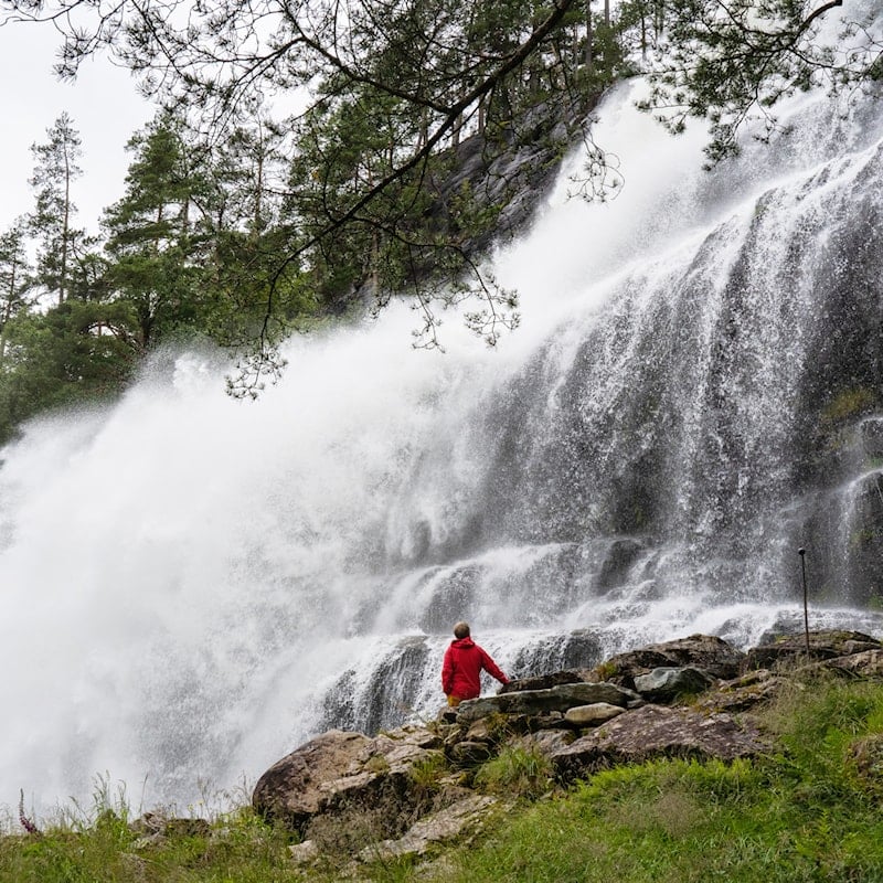
Photo: Frid-Jorunn Stabell, Statens vegvesen
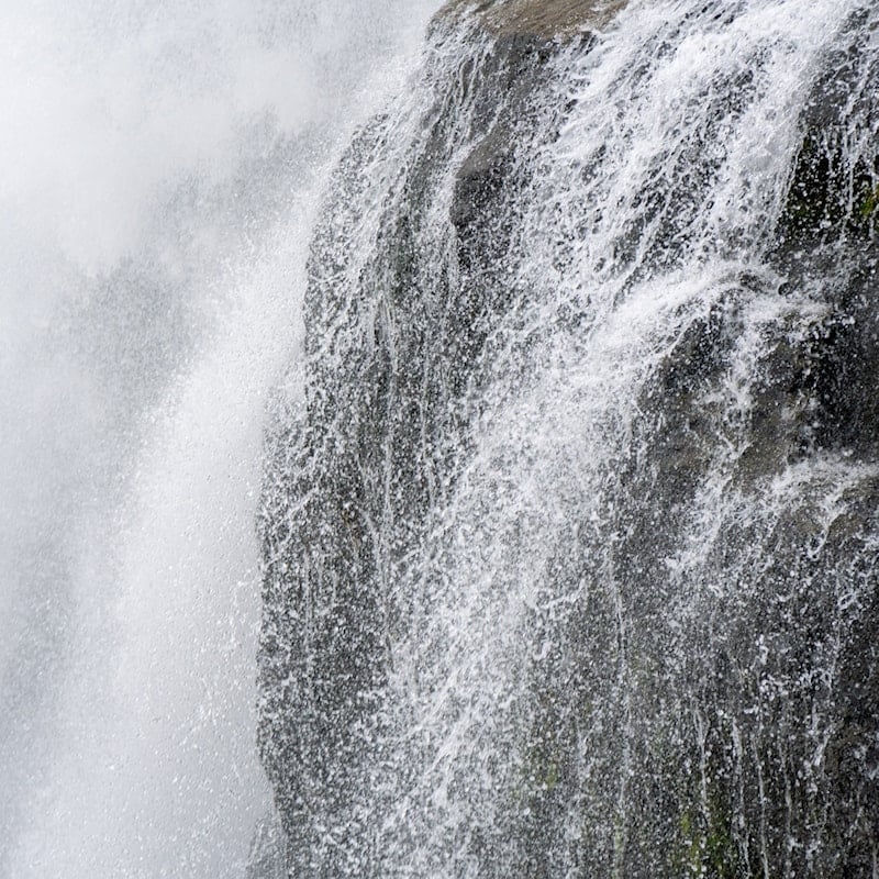
Photo: Fredrik Fløgstad, Statens vegvesen
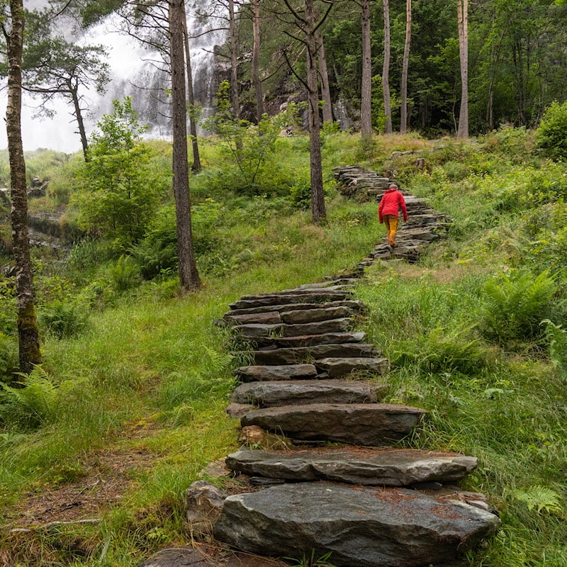
Photo: Frid-Jorunn Stabell, Statens vegvesen


