Rest area and viewpoint Lovra

GPS, Lovra:
59.41982499, 6.21975395
Not wheelchair accessible.
The viewing point Lovra lies hidden in the forest south of Sand in Suldal municipality.
Frome here there is a splendid view of the Lovraeidet isthmus and the fjord. To reach the viewing point you take the narrow path that leads from the lay-by on the road.
Map of the route
Closed for the winter
- Closed:
- Estimated open:
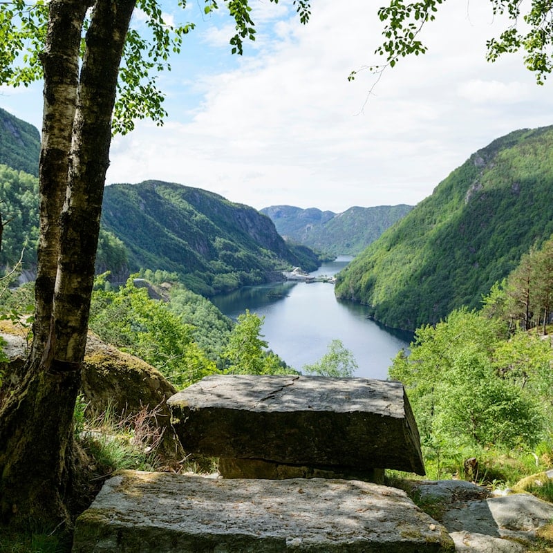
Photo: Jarle Wæhler, Statens vegvesen
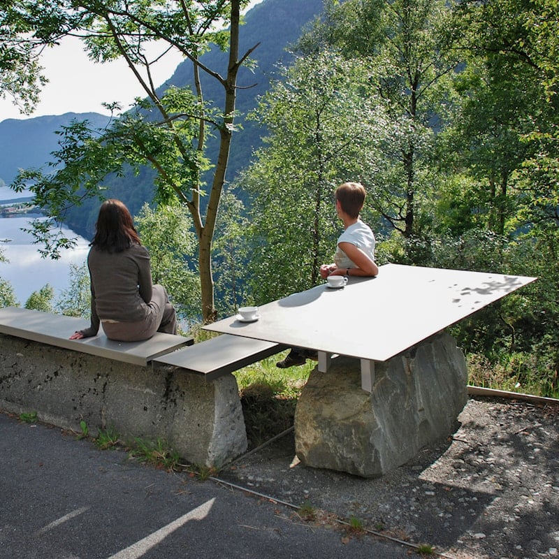
Photo: Per Kollstad, Statens vegvesen


