Rest area and viewpoint Austnesfjorden

GPS, Austnesfjorden:
68.31496695, 14.71419064
Partially wheelchair accessible.
The toilet facilities are open all year round. Toilets from motorhomes and caravans can be emptied in a separate facility.
Austnesfjorden rest area is located on a promontory south of Sildpollen bay.
Austnesfjorden rest area is located on a promontory south of Sildpollen bay. A wooden walkway has been constructed to protect the terrain, hovering over the landscape and leading to the top of Austneset promontory. From the walkway a panoramic view opens to the coastal alpine landscape and the chapel on the Sildpollneset headland.
Map of the route
Closed for the winter
- Closed:
- Estimated open:
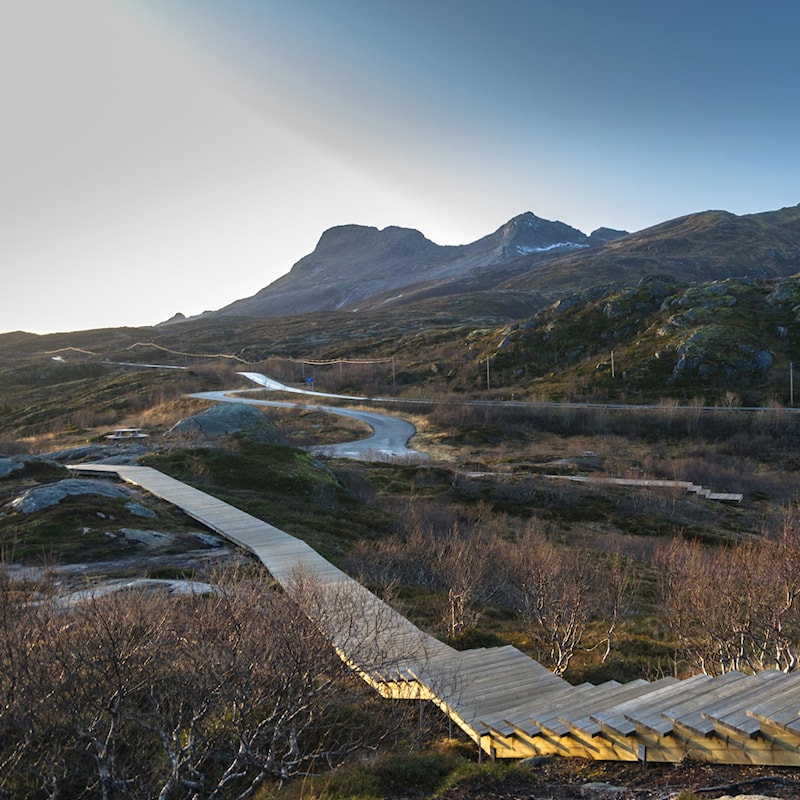
Photo: Steinar Skaar, Statens vegvesen
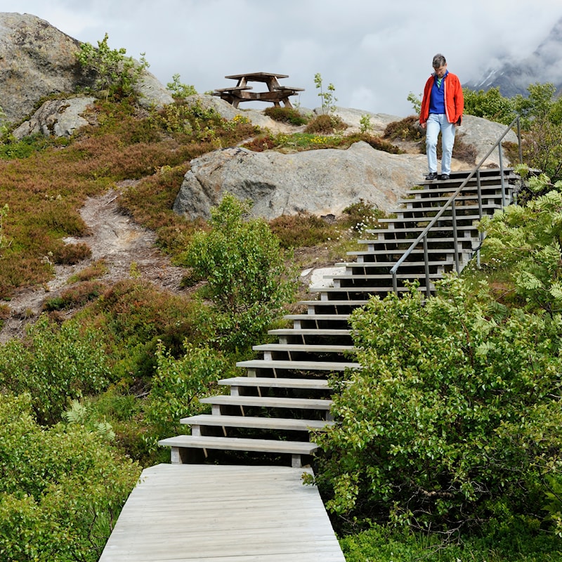
Photo: Jarle Wæhler, Statens vegvesen
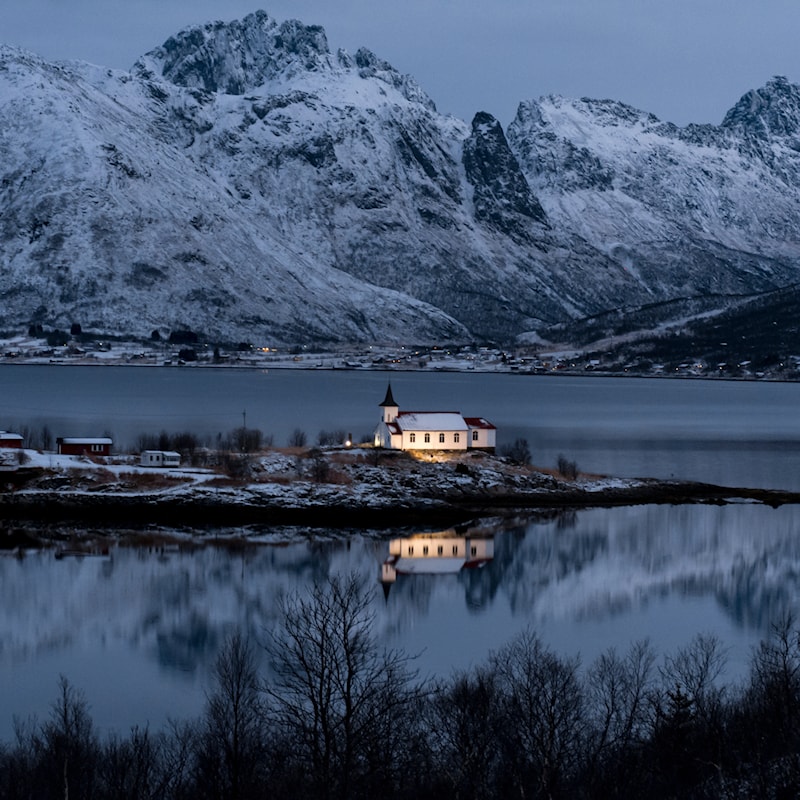
Photo: Lars Grimsby, Statens vegvesen


