Scenic route Havøysund

Towards the farthest north
A supplement to the North Capet; the end point Havøysund and the islands beyond offer a encounter with a thriving community on the coast of Finnmark.
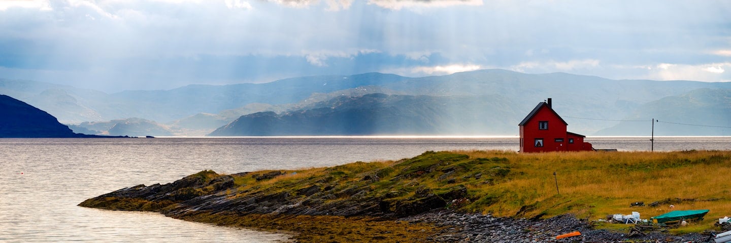
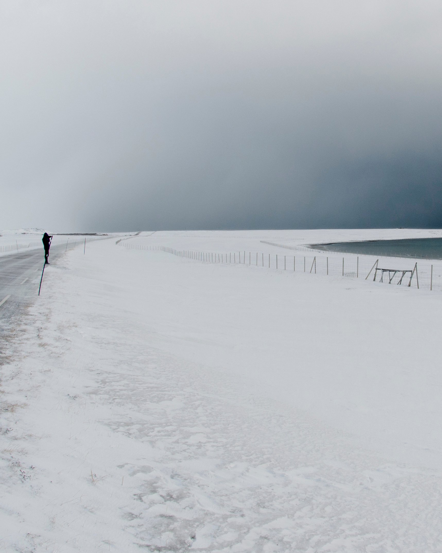
The road out to Havøysund is fascinatingly varied. Parts of the road traverse a barren rocky landscape with the Arctic Ocean on one side and rugged outcrops on the other. The landscape is stark and dramatic, but in the midst of this apparent barrenness you may get to see both sea eagles and reindeer. The drive is a special experience, different from anything else. Located at 71° north, the little fishing village of Havøysund is literally the end of the road.
In combination with the Hurtigruten Coastal Express and Norwegian Scenic Route Varanger, this route can form part of one of Norway’s most beautiful circular trips.
Map of the route
Closed for the winter
- Closed:
- Estimated open:
Travel information
- Length
- 67 km
- MASL
- 0 – 233
Norwegian Scenic Route Havøysund runs from Kokelv to Havøysund [889]. The Hurtigruten coastal express calls at Havøysund daily. This allows you to plan round trips combining several Norwegian Scenic Routes.
You can also extend the trip by taking the Måsøy express boat (Måsøyekspressen) to the Rolvsøy (Gunnarnes quay), Ingøya or Måsøya islands. It is definitely worth the trip. If you are going to Måsøya, you must call the boat on tel: 0047 480 23 948, report whether you are going to Måsøy or will be picked up there.
For cyclists: The route follows the coastline, but includes a few steep hills across the fell. Beware of strong winds. It is possible to combine Norwegian Scenic Route Havøysund with National Cycle Route 1. The route also coincides with EuroVelo 1 «Atlantic Coast Route». The route is not signposted as a cycle route.
Traffic and road information
Telephone +47 815 48 991
Traffic alerts in map (Norwegian only)
Traffic alerts in telephone app (Norwegian only)
Map information
- GPS, Havøysund:
- 70.992778, 24.654444
- GPS, Kokelv:
- 70.6109328, 24.722849
Gpx file download for gps and navigation app.
In this file, the direction of travel is from Kokelv to Havøysund. Gpx files for all Scenic Routes. Any alternative driving pattern must be adapted by the users themselves.
Information
Emptying toilets from motorhomes and caravans is not permitted in our toilets. The facility is not designed for such use.The nearest dump stations are at Havøysund, Skaidi and Nordkapp.
-

Photo 1 of 13: Lillefjord-Snefjord. Norwegian Scenic Route Havøysund. Photo: Frid-Jorunn Stabell, Statens vegvesen -

Photo 2 of 13: Selvika, Norwegian Scenic Route Havøysund. Photo: Harald Christian Eiken -

Photo 3 of 13: Kokelv. Norwegian Scenic Route Havøysund. Photo: Anne Olsen-Ryum, Statens vegvesen -

Photo 4 of 13: Snefjord. Norwegian Scenic Route Havøysund. Photo: Anne Olsen Ryum, Statens vegvesen -

Photo 5 of 13: Slåtten, Norwegian Scenic Route Havøysund. Photo: Bjarne Riesto, riesto.no -

Photo 6 of 13: Revsbotn, Norwegian Scenic Route Havøysund. Photo: Werner Harstad, Statens vegvesen -

Photo 7 of 13: Vekselvik, Norwegian Scenic Route Havøysund. Photo: Jarle Wæhler, Statens vegvesen -

Photo 8 of 13: Reindeer, Norwegian Scenic Route Havøysund. Photo: Anne Olsen-Ryum -

Photo 9 of 13: Måsøy, Norwegian Scenic Route Havøysund. Photo: Frid-Jorunn Stabell, Statens vegvesen -

Photo 10 of 13: Puffin. Norwegian Scenic Route Havøysund. Photo: Frid-Jorunn Stabell, Statens vegvesen -

Photo 11 of 13: Havøysund. Norwegian Scenic Route Havøysund. Photo: Jarle Wæhler, Statens vegvesen -

Photo 12 of 13: Havøysund. Norwegian Scenic Route Havøysund. Photo: Hilde M Strangstadstuen, Statens vegvesen -

Photo 13 of 13: Havøysund. Norwegian Scenic Route Havøysund. Photo: Jarle Wæhler, Statens vegvesen
Experiences
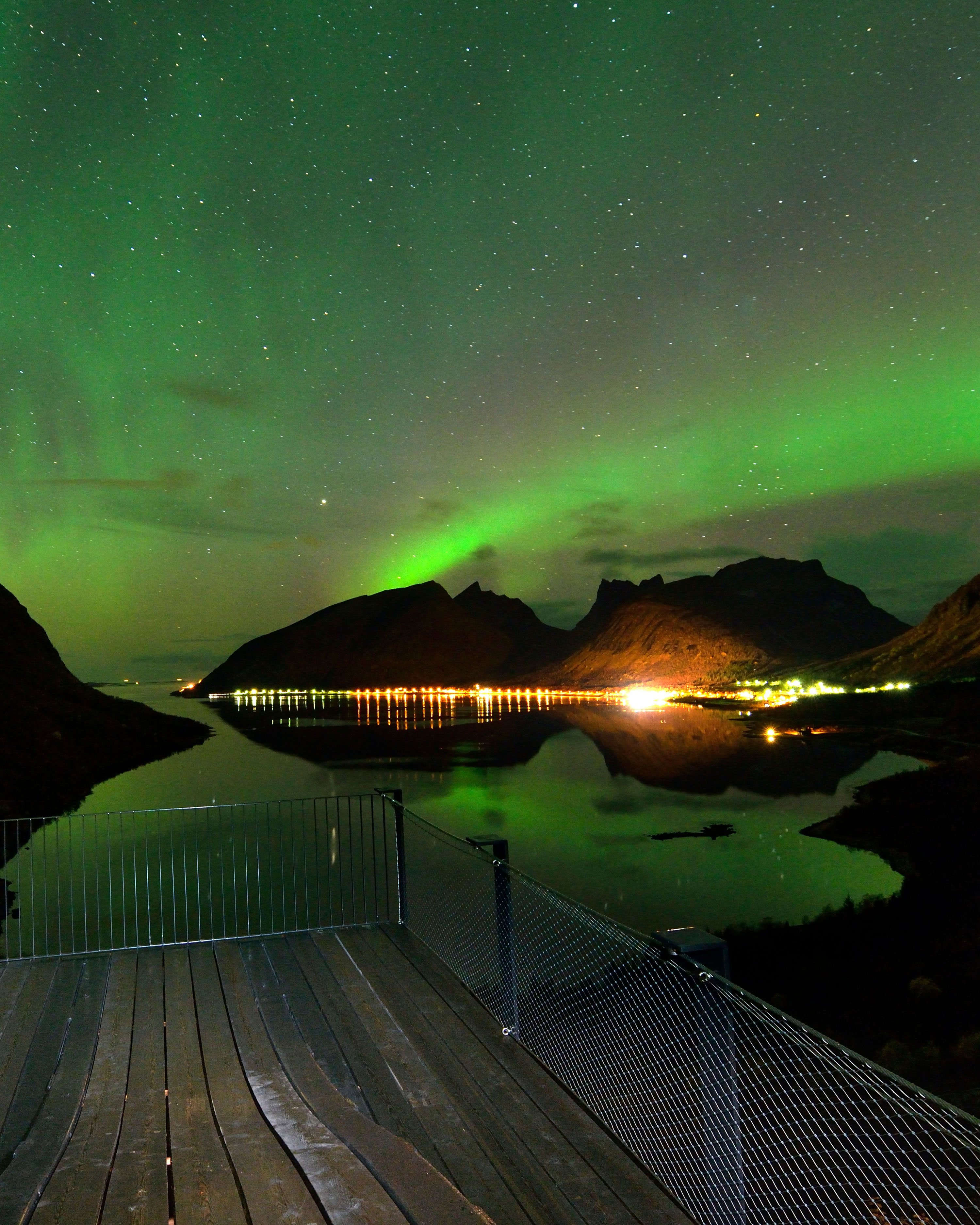
It is the sea and fishing that has been the main industry for the people of Havøysund, and deep sea fishing is also what attracts many people to the area. Here at the edge of the Barents Sea you can experience the midnight sun in summer and the northern lights in winter. The adventurous should take the boat from Havøysund to the islands of Ingøy, Rolvsøya and Måsøy. Hjelmsøystauren, one of northern Europe's largest bird rocks, is also worth a visit.
A half-hour walk from Havøysund can take you to the island's highest point, Havøygavlen, with views towards the Arctic Ocean and nearby islands. A hike to Storvika is also an easy walk from Havøysund, taking you out to cliffs and skerries in the weather-beaten landscape on the southwestern part of Havøya. In the northeast of the island you will find the historic Russehula cave.
Useful links
-
The official travel guide to Norway
-
Travel by bus, train, ferry, metro and plane
-
Good advice for campers
The 18 Norwegian Scenic Routes
Norwegian Scenic Routes are roads that run through unique Norwegian nature. Along the roads you will find artworks, viewpoints and rest areas with innovative architecture in beautiful landscapes.


